Virgin Islands builders, farmers, landowners and other members of the public will have access to detailed information about the nutrition, microbiology, permeability and vegetation of soil in the territory thanks to an ongoing study led by the Department of Disaster Management, government announced.
DDM Director Jasen Penn said the study will help shed light on landslide vulnerability, crop suitability, and other aspects of the soil at particular sites.
“Once the project is finalised, farmers and landowners will be able take advantage of this soil analysis and make much more informed decisions about the safest and best possible use of their land,” Mr. Penn said.
During the latest field visit, researchers finalised sample gathering in Tortola and Virgin Gorda, according to government.
They also carried out two Geographic Information System workshops and conducted outreach with students on Virgin Gorda under the direction of lead researcher Dr. Richard Teeuw, a professor of geoinformatics and disaster risk reduction at the University of Portsmouth in England.
Sampling
Since the project launch, more than 60 locations across the territory have been sampled.
Analysis showing the soil’s type, chemistry and other characteristics can help inform decisions for disaster risk reduction, conservation, building construction and agriculture, said DDM Senior Technical Planning Manager Melanie Daway, who is also the study project manager.
“Thirteen map layers for this project are largely complete, and the H. Lavity Stoutt Community College soils laboratory has the capacity to carry out additional analysis for conservation, development or agricultural purposes,” Ms. Daway said, adding, “This means that the partnerships we hoped to establish as part of this project are already bearing fruit.”
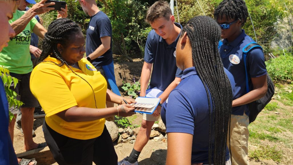
She also noted that 35 people took part in the latest training workshops, which shared how to apply Geographic Information System tools in farming, biodiversity conservation, geological hazards, and civil engineering.
Additionally, the research team conducted hands-on sessions with four secondary schools.
Study partners
The study, which launched in November 2022, is a partnership between the University of Portsmouth; the Ministry of Environment, Natural Resources and Climate Change; the Department of Agriculture and Fisheries; the Environmental Health Division; HLSCC; the National Parks Trust; and the Town and Country Planning Department.
It is funded through the United Kingdom government’s Darwin Plus programme.