A tropical wave will affect the territory Saturday, causing “unstable weather conditions,” according to the Antigua and Barbuda Meteorological Service.
Clouds, showers and a moderate chance of thunderstorms are expected through Monday.
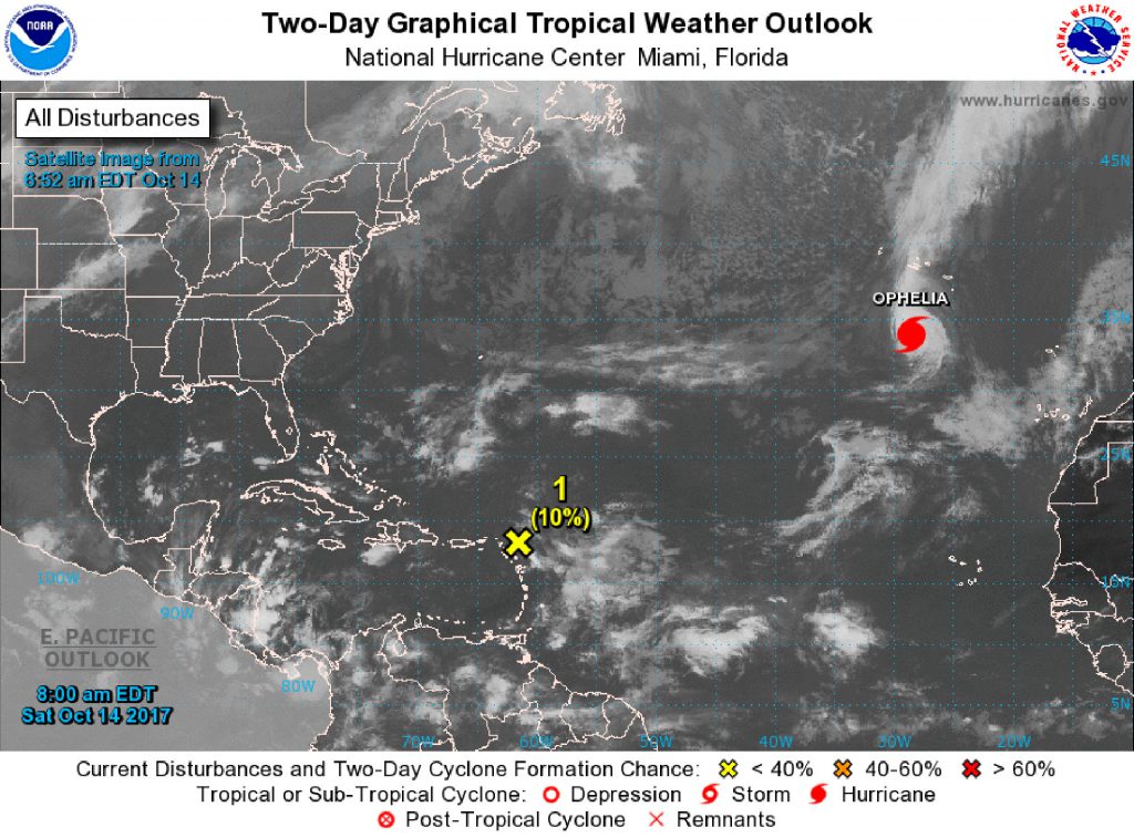
 In addition, a broad area of low pressure located 250 miles east of the Leeward Islands has created a disorganised system of shower and thunderstorm activity. However, the United States’ National Hurricane Centre said that high winds will not be conducive to further development.
In the next few days, the system is expected to continue to move west-northwestward at 15 to 20 miles per hour, passing north of the Virgin Islands.
Early next week, however, the system will begin moving northward over the west-central Atlantic Ocean, giving rise to conditions more conducive to development. The NHC gives cyclone formation chances over the next five days at “low,” at 30 percent.
Friday, a relatively stable atmosphere will dominate, limiting the chance for showers.
Caution
In a statement released Friday on Hurricane Irma recovery efforts, Governor Gus Jaspert said he would like to “remind everyone that we are still in a very active Atlantic hurricane season and we are also observing and experiencing an increase in tropical waves in the area which at times adversely affects our efforts.”
He noted that many of the local weather monitoring and alert networks locally were affected by hurricanes Irma and Maria, and he is working with a team at the Department of Disaster Management and the National Emergency Operations Centre to re-establish the networks.
In the meantime, he said, “I am encouraging everyone to remain in a high state of readiness and to regularly check weather alerts.”
{fcomment}