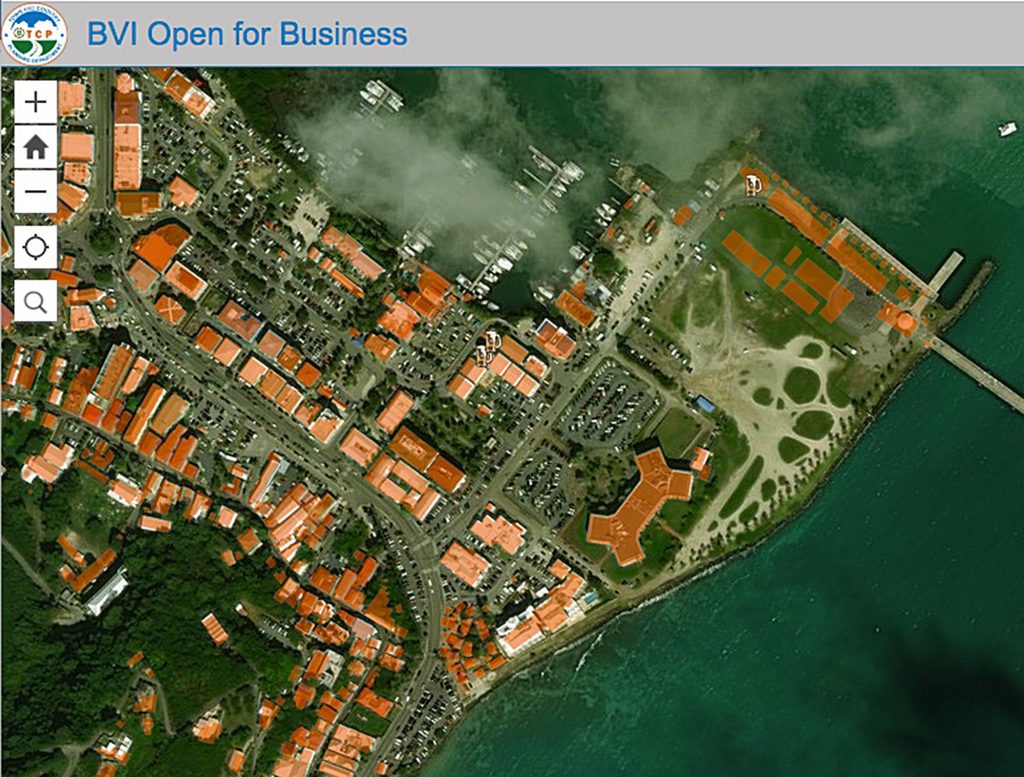
An online map created by the Town and Country Planning Department tracks businesses and government agencies that are open post-Hurricane Irma.
“This map is indeed a benefit to the public, businesses and the world,” Premier Dr. Orlando Smith said of the interactive “BVI Open for Business” app. “People now have a central point to easily locate and access the relevant information about government offices and local businesses that are now operational.”

Operating businesses that are not included on the map can go to https://goo.gl/g1HRFc and enter their information.
“Many businesses and government offices have had to relocate, and it has been very difficult for the public to keep up with the changes,” said Chief Planner Gregory Adams.
He added that the map is a crowd-sourcing application built on a platform that allows users to add new information as it becomes available.
When users log on to add information, the app is designed to sync with the GPS on their device, according to the chief planner.
“The application serves as a convenient information source for users, businesses are able to advertise their services, which helps the economy by making information available for both residents and visitors so that they can patronise these businesses,” he said.
The map is compatible with electronic devices with location and GPS functions.
{fcomment}